Emma Michael
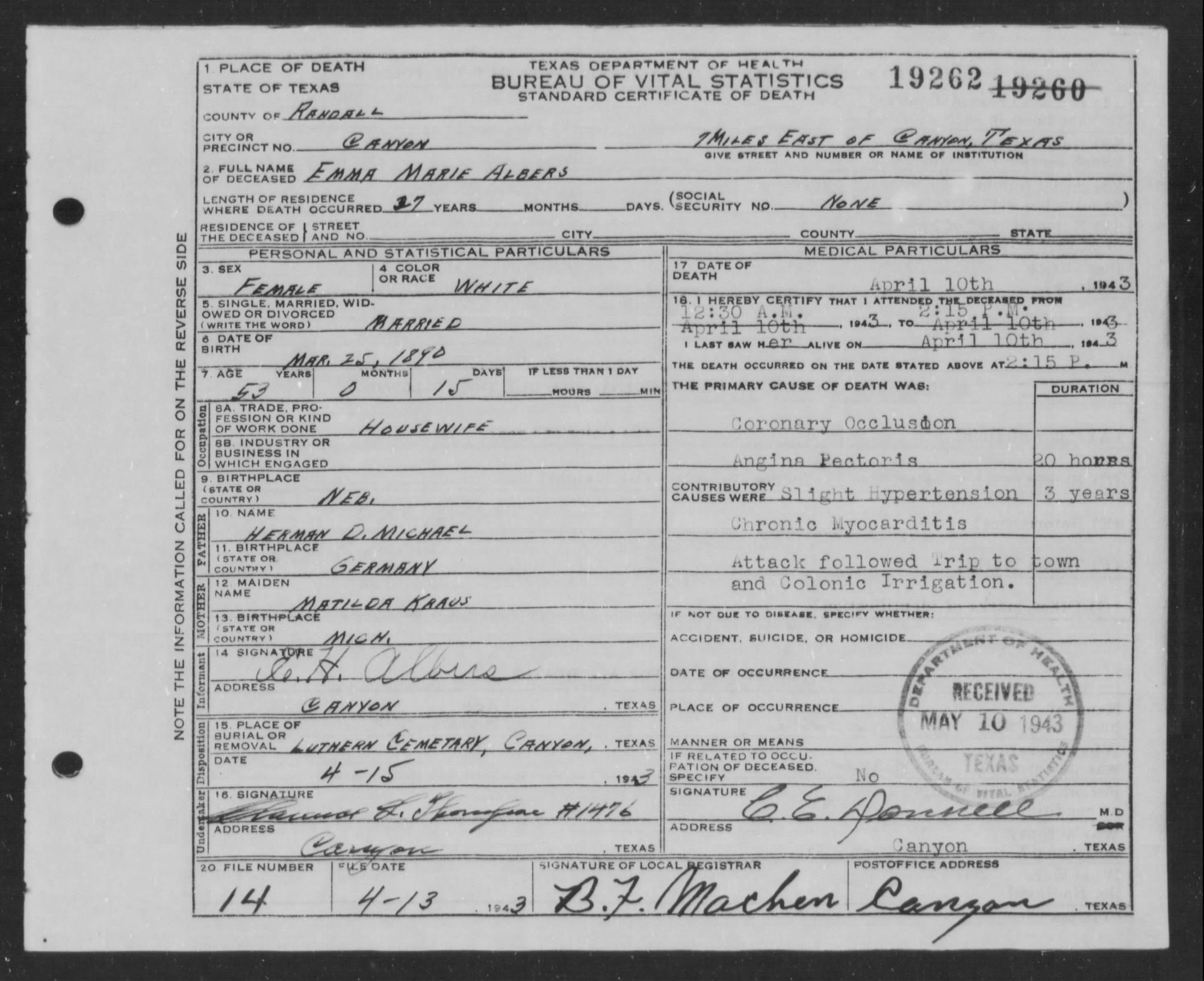
Born 25 MAR 1890, Nebraska, United States. Died 10 APR 1943, 7 miles E, Canyon, Randall County, Texas, United States.
Open in the interactive archive Pedigree chart, record images and search.
Family
Parents
- Herman Michael (b. 1864) father
- Matilda M (b. 1867) mother
Spouses
- Emil Heinrich Albers (1893–1975)
Children
- Vance Welton Albers (1916–1988)
- Phyllis K Albers (1918–1971)
- John Erwin Albers (1919–1998)
- Alan Krauss Albers (1923–1971)
- Marvin Louis Albers (1925–1971)
- Bruce H Albers (1927–1971)
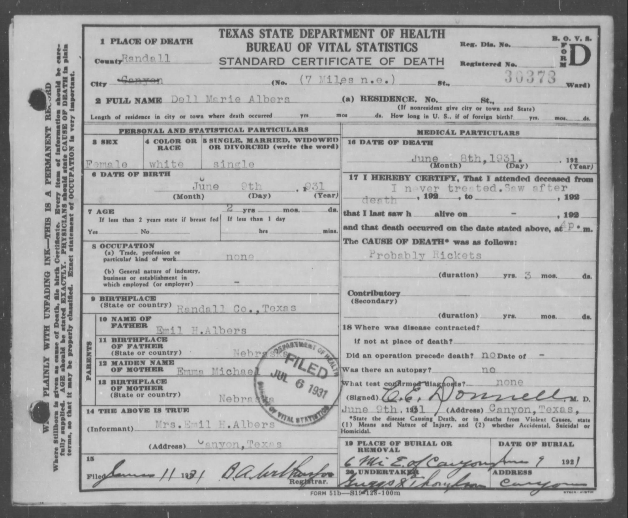
- Dell Marie Albers (1929–1931)
Life events
- Birth 25 MAR 1890
- Emma Michael was born on 25 MAR 1890 at Nebraska, United States.
- Lineage
- Emma Michael was the daughter of Herman Michael and Matilda M.1
- Also known as
- Also known as Emma Marie Albers.
- Also known as
- Also known as Emma M Albers.
- Marriage 5 JAN 1916
- Emma Michael married Emil Heinrich Albers on 5 JAN 1916.
- Census 25 FEB 1920
- She appeared on the census of 25 FEB 1920 at 4 J-Pct, Randall County, Texas, United States.12
- Census 22 APR 1930
- She appeared on the census of 22 APR 1930 at 1 J-Pct, Randall County, Texas, United States.11
- Residence 1 APR 1935
- She lived at 5½ mi N E of Canyon, 1 J-Pct, Randall County, Texas, United States on 1 APR 1935.10
- Residence 1 APR 1940
- She lived at 5½ mi N E of Canyon, 1 J-Pct, Randall County, Texas, United States on 1 APR 1940.8,9
- Census 3 MAY 1940
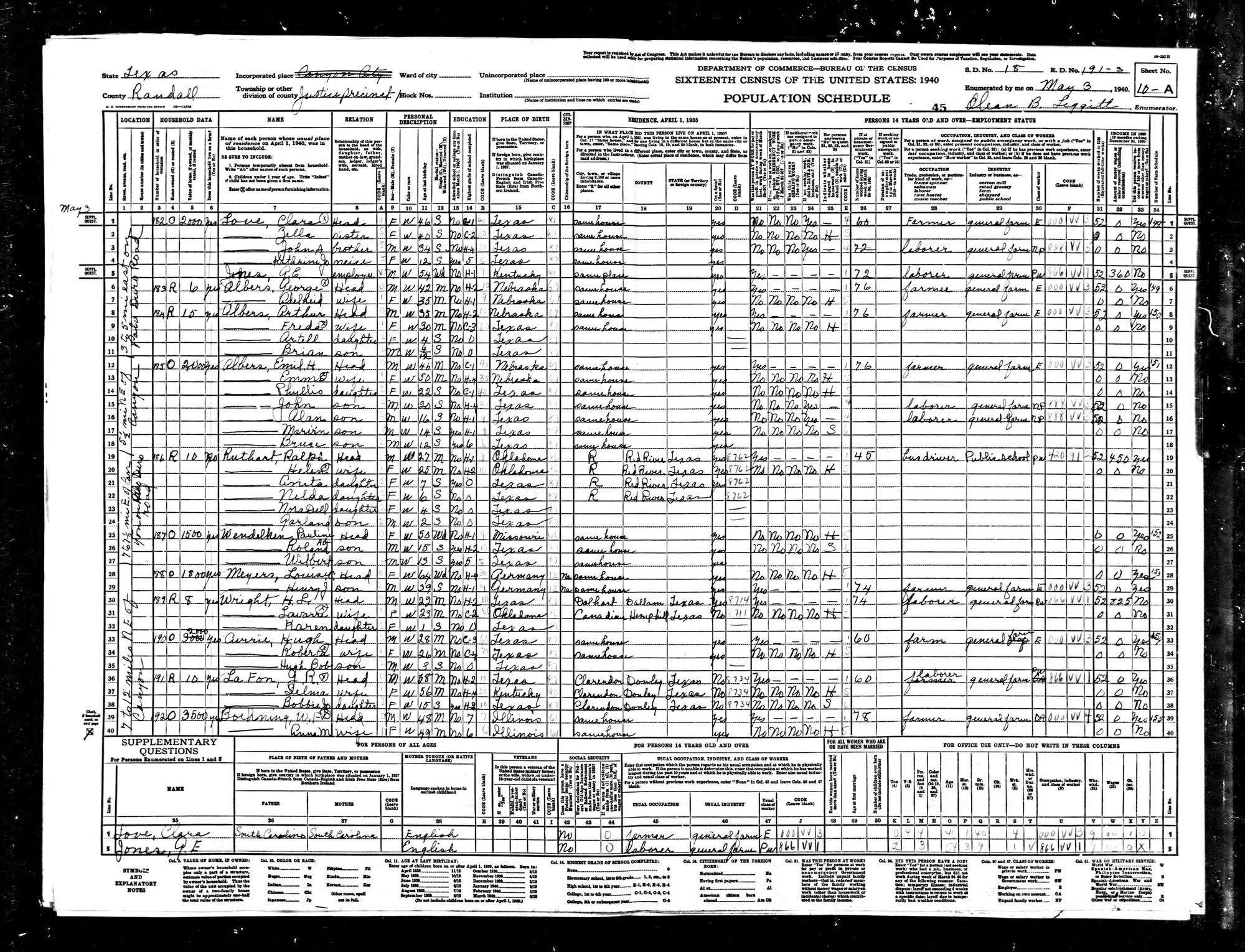
- She appeared on the census of 3 MAY 1940 at 5½ mi N E of Canyon, 1 J-Pct, Randall County, Texas, United States. 1940 census, Randall Co., TX, ED 191-3, sheet 10-A, household 185 (Emil H Albers), line 13. Census day 1 Apr 1940; enumerated 3 May 1940 (sheet signing date; the household visit was on or before it). Name as written: Emma. Relationship: wife. Age 50. Marital status: M. Race: W. Birthplace given: Nebraska. Attended school since 1 Mar 1940: No; highest grade: H-4. Employment status: at work: no; emergency work: no; seeking work: no; had job: no; other: H (home housework). No usual occupation entered. 0 weeks 1939; $0 wages 1939; other income over $50: no. Informant mark: circled X (informant). Precinct number not written on the 1940 sheet; from the 1950 ED map (base 1936, rev. 1944) and the 1930 census. Household: O (owned); farm: yes (dwelling value not recorded here: middle digit unclear). Location: 5½ mi N E of Canyon (margin note, sheet lines 12-18). Age, birthplace and 1935 residence are secondary information. [AI: Codd, CAS-148, 2026-10-11].7
- Census 3 MAY 1940
- She appeared on the census of 3 MAY 1940 at 5½ mi N E of Canyon, 1 J-Pct, Randall County, Texas, United States. Precinct number not written on the 1940 sheet; from the 1950 ED map (base 1936, rev. 1944) and the 1930 census. Place detail is the sheet's own words for lines 12-18 (5½ mi N E of Canyon); the earlier detail 3 to 5 Miles East on Palo Duro Road is kept as a consistent alternate fact. Census day 1 Apr 1940; enumerated 3 May 1940. [AI: Codd, CAS-148, 2026-10-11] Per Aric Brown (descendant), 2026-10-11 (family knowledge, not on the 1950 map): Arthur's house was at the south dead end of the short north-south road past the bend in the Palo Duro Road; George's was near that intersection; Emil's was farther east toward Palo Duro Canyon; their father John Erwin Albers lived on the next place north on that road. George and Arthur are 'rented' (R) on the 1940 sheet but lived on their father's land (one section south of the road, two north). [AI: CAS-152].13,14
- Death 10 APR 1943
- Emma Michael died on 10 APR 1943 at 7 miles E, Canyon, Randall County, Texas, United States.2,3
- Occupation 10 APR 1943
- She was listed as a professional on 10 APR 1943.6
- Burial 15 APR 1943
- She was buried on 15 APR 1943 at St Paul's Cemetery, Canyon, Randall County, Texas, United States.4,5
Records and photos
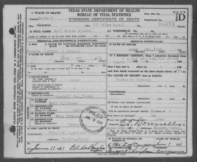 Albers, Dell Marie - Death Certificate
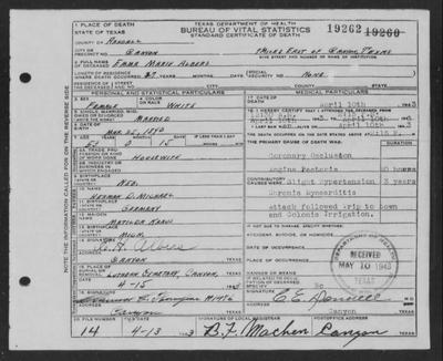 Albers, Emma Marie - Death Certificate
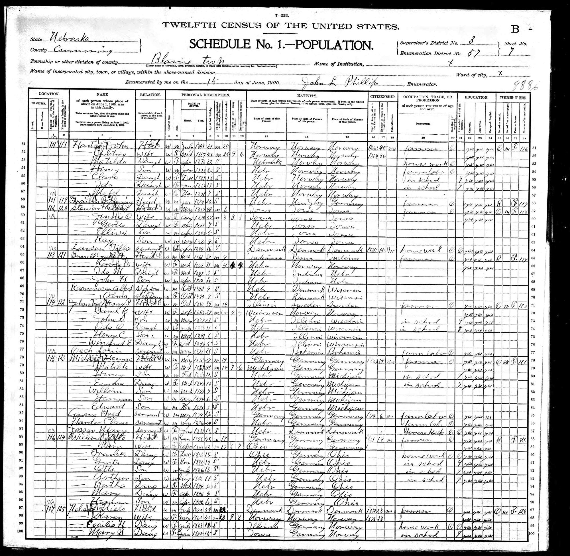
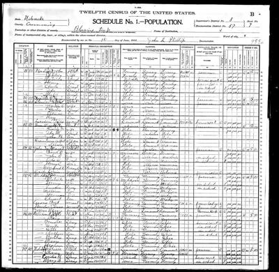 1900 - Nebraska - Cuming County - Blain Township - Herman Michael
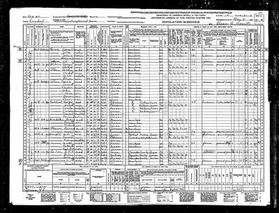 1940 - Texas - Randall County - 1 J-Pct - Emil H Albers
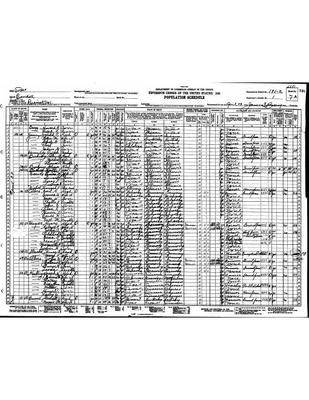 1930 - Texas - Randall County - 1 J-Pct - Emil H Albers
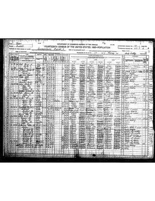 1920 - Texas - Randall County - 4 J-Pct - Emil H Albers
Sources
- [s196] Fold3 — Texas Death Certificates, 1890-1976, entry for Emma Marie Albers
- [s196] Fold3 — Texas Death Certificates, 1890-1976, entry for Emma Marie Albers
- [s20] [website not recorded] — www.cemeteries-of-tx.com, Citation
- [s20] [website not recorded] — www.cemeteries-of-tx.com, http://www.cemeteries-of-tx.com/Wtx/Randall/StPaul.html
- [s196] Fold3 — Texas Death Certificates, 1890-1976, entry for Emma Marie Albers
- [s196] Fold3 — Texas Death Certificates, 1890-1976, entry for Emma Marie Albers
- [s263] U.S. — census of 1940 — population schedule — Ancestry.com — 1940 United States Federal Census, Randall County, Texas, United States, sheet 10-A, ED 191-3, household 185, line 13, Emma (Emil H Albers household); NARA microfilm T627, roll 4125
- [s263] U.S. — census of 1940 — population schedule — Ancestry.com — 1940 United States Federal Census, Randall County, Texas, United States, sheet 10-A, ED 191-3, household 185, line 13, Emma (Emil H Albers household); NARA microfilm T627, roll 4125
- [s1030] Texas State Highway Department; U.S. Department of Agriculture, Bureau of Public Roads — General Highway Map, Randall County, Texas — base map 1936, partially revised to January 1944; Census Bureau "1950 OFFICE MAP" copy, annotated with 1950 enumeration districts; U.S. National Archives, RG 29 Records of the Bureau of the Census, series Enumeration District and Related Maps — National Archives Catalog, 1950 enumeration district map, Randall County, ED 191-1 to 191-13; red Justice Precinct 1 (1 J-Pct), ED 191-7, area east of Canyon along the Palo Duro Road (F.A.S. 217)
- [s263] U.S. — census of 1940 — population schedule — Ancestry.com — 1940 United States Federal Census, Randall County, Texas, United States, sheet 10-A, ED 191-3, household 185, line 13, Emma (Emil H Albers household); NARA microfilm T627, roll 4125
- [s12] U.S. — census of 1930 — population schedule — NARA microfilm — National Archives and Records Administration, Randall County, p. 113, Emil H Albers household
- [s21] U.S. — census of 1920 — population schedule — NARA microfilm — National Archives and Records Administration, Randall County, p. 112, Emil H Albers household
- [s263] U.S. — census of 1940 — population schedule — Ancestry.com — 1940 United States Federal Census, Randall County, Texas, United States, sheet 10-A, ED 191-3, household 185, line 12, Albers (Emil H Albers household); NARA microfilm T627, roll 4125
- [s1030] Texas State Highway Department; U.S. Department of Agriculture, Bureau of Public Roads — General Highway Map, Randall County, Texas — base map 1936, partially revised to January 1944; Census Bureau "1950 OFFICE MAP" copy, annotated with 1950 enumeration districts; U.S. National Archives, RG 29 Records of the Bureau of the Census, series Enumeration District and Related Maps — National Archives Catalog, 1950 enumeration district map, Randall County, ED 191-1 to 191-13; red Justice Precinct 1 (1 J-Pct), ED 191-7, area east of Canyon along the Palo Duro Road (F.A.S. 217)
- [s50] Ancestry.com — Texas Birth Index, 1903-1997, Citation
- [s196] Fold3 — Texas Death Certificates, 1890-1976, entry for Dell Marie Albers